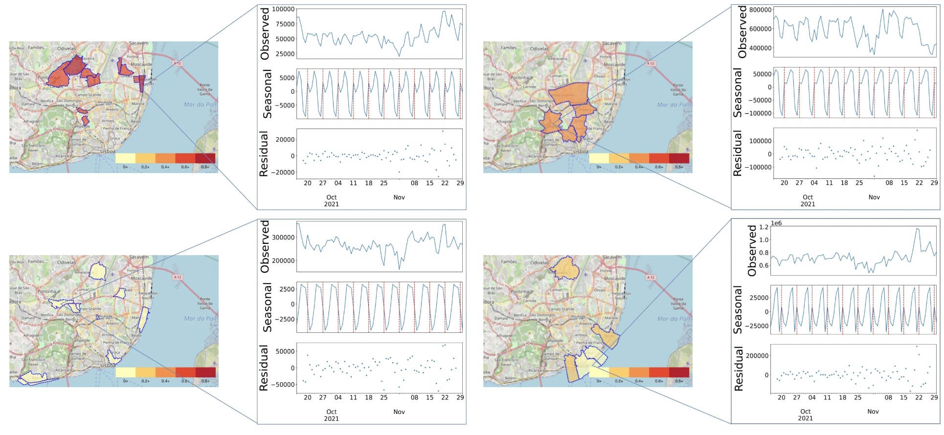
Miguel G. Silva, LASIGE’s PhD student, published the paper “Actionable Descriptors of Spatiotemporal Urban Dynamics from Large-scale Mobile Data: A Case Study in Lisbon City”, in Environment and Planning B: Urban Analytics and City Science, a top-ranked journal in Urban Studies and Architecture. The paper co-authors are LASIGE’s integrated researcher Sara C. Madeira, and Rui Henriques from INESC-ID and Instituto Superior Técnico, Universidade de Lisboa.
Mobile phone location records can be used to monitor and understand emerging population dynamics in urban areas. By extracting patterns from these data, city officials and researchers can gain valuable insights into the behaviour of urban populations, helpful in guiding decision-making and planning to the overall functioning of the city.
To this end, a new methodology has been developed that extracts and organizes spatiotemporal statistics from decomposed population density data to guide urban planning. The methodology has three objectives: i) assess the predictability of spatiotemporal citizen density patterns; ii) detect emerging spatiotemporal trends in population density; and iii) uncover multi-level seasonality patterns with guarantees of actionability. An open-access tool for deploying and analyzing mobile phone network data with easy-to-use spatiotemporal visualization and navigation facilities is also made available.
The results obtained from real-world, large-scale mobile data in Lisbon, Portugal, demonstrate the effectiveness and validity of the proposed methodology in extracting actionable statistics in linear time to guide both tactic and strategic urban planning.
The paper is available here.

